


Twin Peaks - Peak #39 - Hiking in the Heart of Poway
Twin Peaks
Elevation: 1,306′
Miles: ~2.4
Trailhead: Sagecrest Drive Trailhead
Agency: City of Poway
Date Hiked: 05/19/2010
Peakbagger.com Page
For those interested, here is a list of my gear that I have found works well for me. This is, of course, an affiliate link and your enjoyment of these may vary:
05/19/2010
I only had a couple of hours and I drive by this peak all the time. I've been wondering what it's like at the top, so I squeezed this hike in.
I parked in a neighborhood and was greeted with a sign asking dog owners to clean up after their pets. Right under the sign was a fairly fresh pile. Ironic.
This is a pretty straightforward hike, but the trail to the summit could be pretty easy to miss.
It has all the signs of a suburban hike with dog and horse droppings as well as a lion's share of graffiti. Actually, this was the most graffiti I've seen on a trail before. The tagger covered almost every large rock in one particular area, which was pretty disappointing.

Trailhead to Twin Peaks in Poway

Chimney Rock Open Space Reserve Sign
Starting the hike you pass a sign reading Chimney Rock Open Space Reserve. I did a search for the reserve online and found nothing about it and I don't see it on any maps. I know the adjacent upscale neighborhood is called Chimney Rock and can only assume it was named after the subdivision.
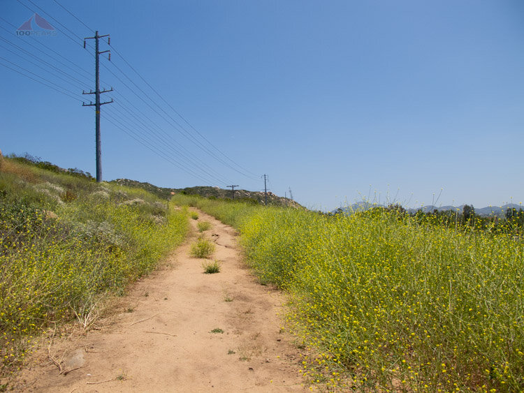
Mustard along the trail to Twin Peaks
I hiked along a pretty wide dirt road that roughly followed the power lines. Once you start ascending the mountain, it turns into a wash-like trail that climbs steeply. That is when I started to see the graffiti.
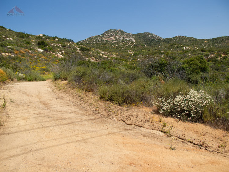
Turning at heading upward

Red earth of North San Diego on the way to Twin Peaks
I scrambled to the top and enjoyed the views of Poway and beyond. It was a pretty clear day and I could see many peaks that I have summited before. It wasn't long before I had to start descending. This was one of those hikes where I couldn't dilly-dally. I had things to do after lunch.
This is one of those great hikes that you can squeeze in if you are looking for a pretty decent view with some moderate elevation gain without too much distance.
Twin Peaks (Poway) Trail Map - (Click to Enlarge)