Fox Mountain and Cuyama Peak Lookout Tower - Peaks 25 and 26 - Back on the trail
Fox Mountain
Elevation: 5,167′
Mileage: ~5
Trailhead: Santa Barbara Canyon Turnout
Date Hiked: 11/03/2013
Peakbagger.com Page
Cuyama Peak
Elevation: 5,878'
Mileage: Drive-up
Trailhead: Cuyama Peak Lookout Tower
Date Hiked: 11/03/2013
Peakbagger.com Page
Agency: Los Padres National Forest
For those interested, here is a list of my gear that I have found works well for me. This is, of course, an affiliate link and your enjoyment of these may vary:
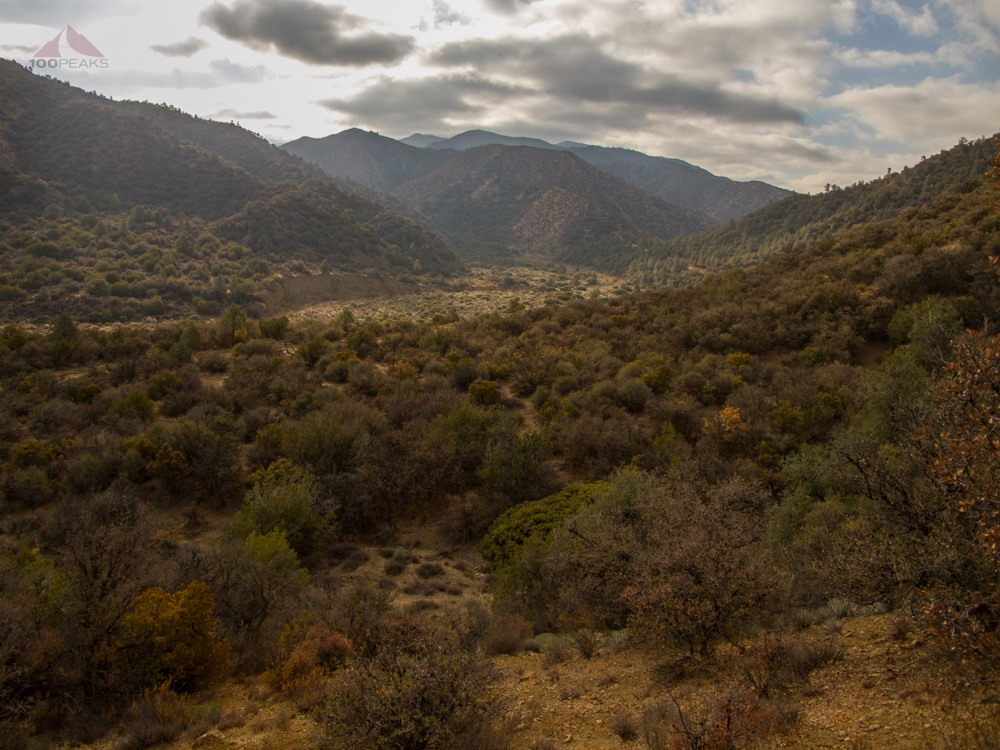
Looking down Santa Barbara Canyon to the head of Dry Canyon
Since I have been hiking and backpacking with my daughter lately, I have been choosing shorter hikes. As a result, my hiking endurance has suffered a little bit.
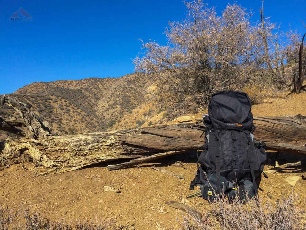
In order to get me back into shape for longer hikes, I decided to hike Fox Mountain, which proved to be a relatively short, but steep hike up a ridge to a peak with gorgeous views all around. It is also one of the Angeles Chapter Sierra Club's One Hundred Peaks.
---
11/03/2013
I set off from the coast at around 5:15AM, picking up gas and breakfast in Ojai along the way. I'm getting quite familiar with Highway 33, since it has been the conduit for most of my hikes in the Southern Los Padres National Forest.
Once again, my spirit soared as the rising sun illuminated the mountains around me as I drove the winding road through the various canyons. Once I passed the Lockwood Valley turnoff, however, the way was new to me.
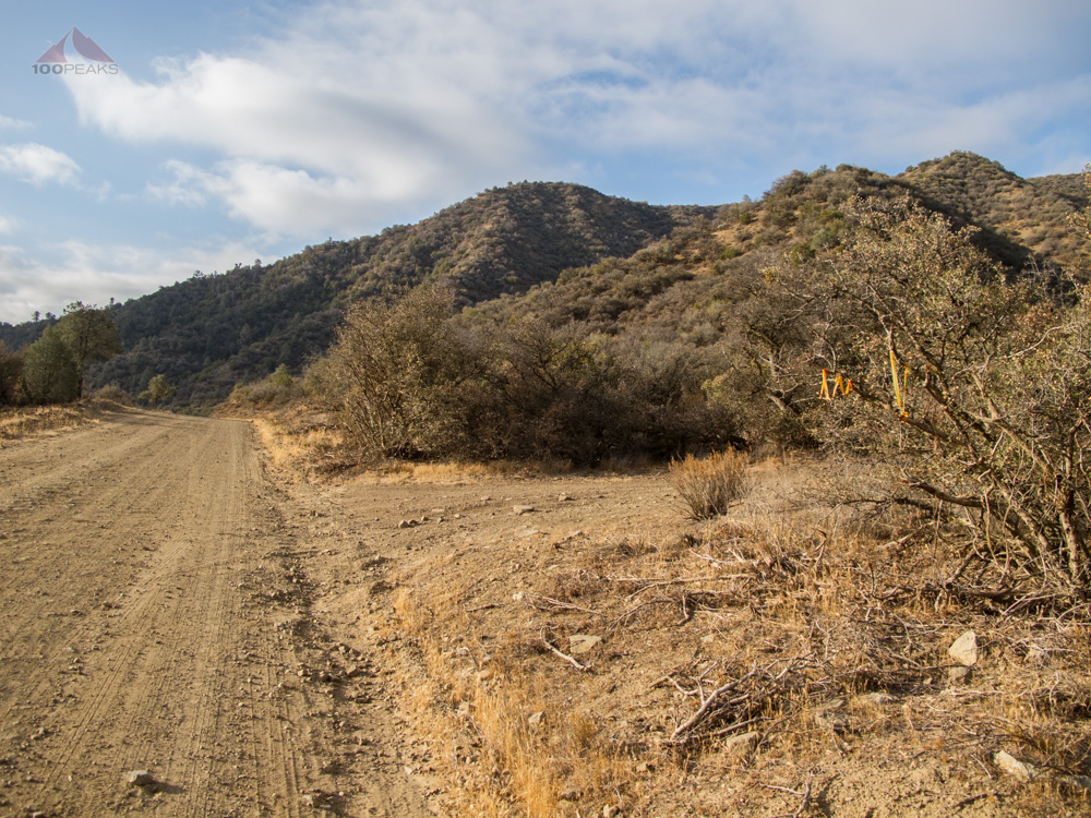
After passing what seemed like 100 quail and a single coyote, I reached the trailhead, indicated by many streamers on the west side of the road. I pulled my car in and backed into a spot.
Scanning around, this appeared to be a popular spot for drinking beer and shooting stuff. Shell casings were all around and there were numerous clay pigeon fragments on the first part of the trail. Knowing I was in for a steep day (over 2,000 feet of gain in ~2.5 miles), I started on the trail up the ridge.
The turnoff to the Fox Mountain trailhead off Santa Barbara Canyon Road

The start of the Fox Mountain trail
Before long, any signs of humans, other than the occasional plastic bag tied to a tree or cairn on the ground, melted away. My body warmed up and the silence was golden. Then, the thunderous booms of large-caliber firearms started encroaching from the north. The peaceful silence was banished. Not letting anything get in the way of my enjoyment, I drank some water, took some pictures and pressed on.
Trash bags tied to trees mark the way for the first half
About a mile up the ridge, I received a text message from my wife letting me know that my nephew had been born earlier this morning. I sat down on a log for a bit and contemplated that fact. It was wonderful news and I was happy to share it with the birds around me.
I am starting to wonder if the coyote is somehow connected to me, as I saw a coyote earlier in the morning, which stopped on a hill and looked at me. The last time a coyote had done that was the same day my beloved aunt had passed away while I was hiking on Piedras Grandes in Anza Borrego.
Since I was halfway to the top and over two hours from my house and about two hours from my nephew, so I decided to continue on my way and see my new nephew the following weekend.

Looking back up Santa Barbara Canyon from the trail
Humans apparently shared this trail with plenty of animals, including deer and coyote. I also saw quite a large track that looked suspiciously like a mountain lion.
I stopped occasionally to catch my breath. It's typically not my legs that get tired on the upward portions of these steep ridge hikes, but my lungs. I normally start feeling the elevation at around 5,000' and this was no different.

The trail to Fox Mountain climbs steeply from the beginning
The ridgeline on the way to Fox Mountain
A short flat spot before the steepness continues
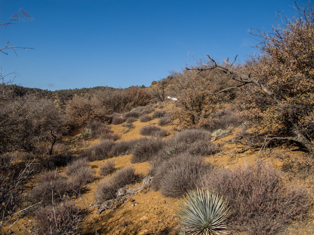
I zig-zagged through the low trees, following the trail and easily finding it again when I zigged instead of zagged. For the most part, the trail led me up the south side of the ridge or right on top, except just after the first knob, where it led me to the north side.
I came to a very steep and gravelly section where I could actually see where the coyote and deer slipped from time to time, their tracks showing sliding marks as they, too, had scrambled upward. I was thankful for my trekking poles.
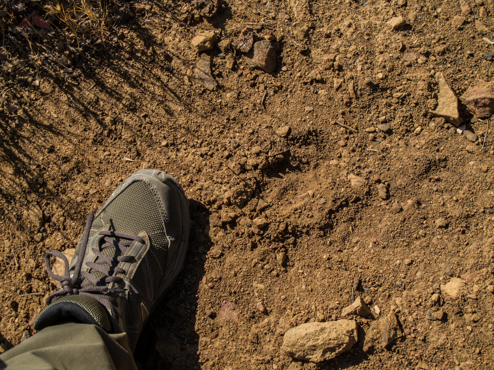
Mountain lion tracks
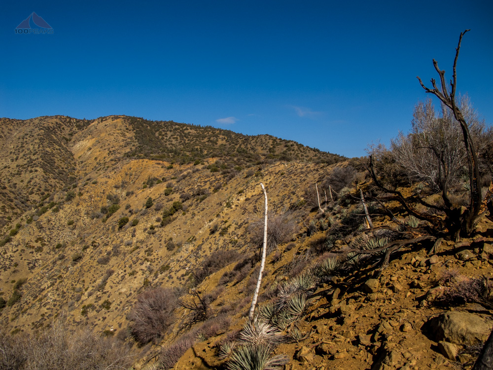
Now that I am backpackinging more frequently, I tend to notice areas where a tent would sit nicely. After the steep part, the trail leveled out, shaded by firs and ancient oaks. From time to time, a large clearing could be seen between the trees and I could imagine a nice night out here, secluded in a dry camp, listening to the coyotes howl.
After the pleasant level section, the trail descended and then gained again before getting to the last shoulder before the Fox Mountain summit.

Fox Mountain is behind the tree
I looked around. This area was new to me. This wasn't San Diego, where I could name almost every major peak wherever I hiked.
This was Los Padres National Forest, a place so vast, that after two years and over 20 peaks climbed, I haven't even yet scratched the surface. I've got to balance my time better, to enable me to more regularly find the peace that comes to me while I am in the outdoors.

Mount Pinos in the distance from Fox Mountain

Fox Mountain benchmark

Fox Mountain summit register
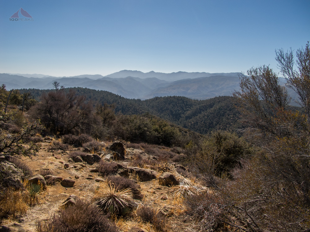
Cuyama Peak from Fox Mountain
I checked the summit register and the last person had been there over two months prior. His name was Mars Bonfire, surely a trail name if I've ever heard one. It wasn't until I got home that I discovered that he is an avid hiker, often leading hikes for the Sierra Club.
He also wrote the song, Born to be Wild. That guy.
And, after seeing his register signature indicate that he had been to the top of this mountain 21 times, I would agreed that he was born to be wild. Perhaps he is the designated leader for this particular mountain, taking people up on a regular basis.
The day was pretty still and I could still hear the guns booming below. I was pretty happy to have carved out some time out of a busy life and gained another summit. The smell of the wilderness was overwhelming.
Like I mentioned in my video, it took me over two hours to get to this trailhead, and I was going to get as much out of this day as I could. I had a snack and headed back down to the car.
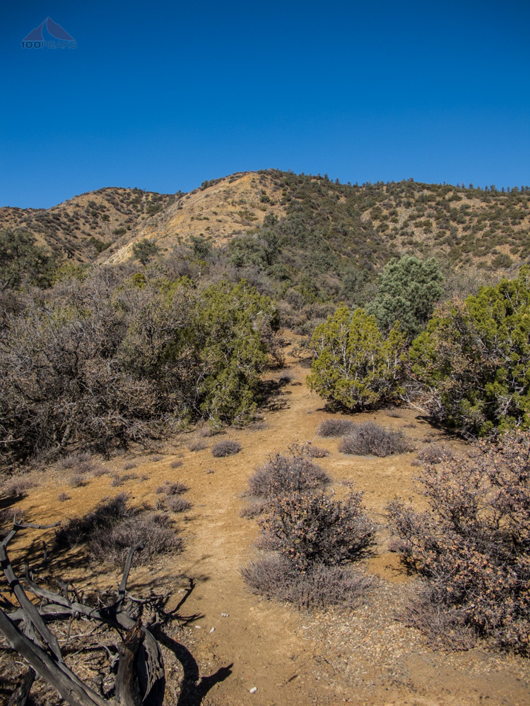
Back down the ridgeline
Once again, I was happy to have my trekking poles, as I navigated down the steeper sections. I only almost fell two or three times. My legs finally got pretty tired from all the downhill when I could see my car down below.
I got back to the car, and decided to try to summit Cuyama Peak, too. I didn't know when I would have the opportunity to get back to this area again. I drove further down Santa Barbara Canyon and took the left into Dry Canyon. I had heard that the road to Cuyama Peak was pretty rough and demanded a capable 4x4 with high clearance, so I was constantly scouting for areas for me to pull off and park in case it got too hairy.
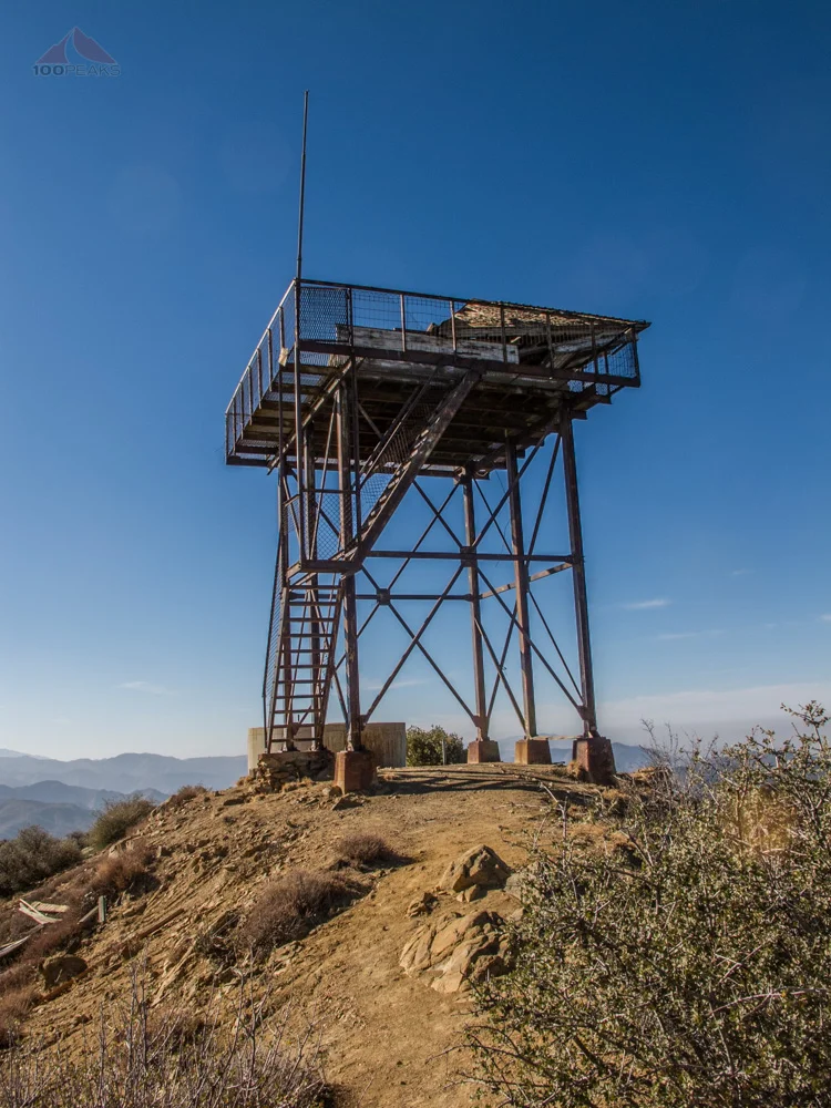
Similar to my hike to Figueroa Mountain, I rounded a corner and saw the Cuyama Peak Lookout Tower right in front of me. I had once again accidentally driven to the top of a mountain.
My capable Tiguan had not even broken a sweat on the rocky road to the top of the mountain. My legs a little thankful, I got out and enjoyed the beautiful day.
I climbed to the top of the tower and saw evidence of the slow decay of this icon of a fully funded national forest of days gone by.

The Cuyama Peak Lookout Tower

Debris on the Cuyama Peak Lookout Tower

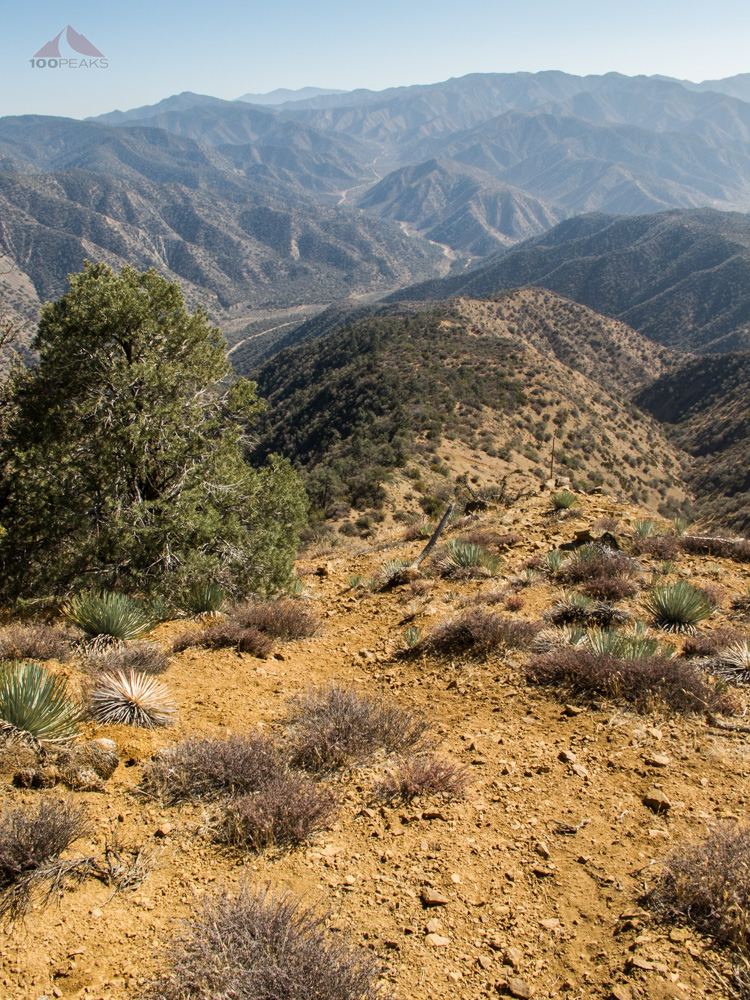
The view from Cuyama Peak Lookout Tower
As is always expected at lookout tower sites, the view was pretty amazing. I scanned the ridge for benchmarks, but could find none.
Knowing I had a long drive ahead of me, I got back in the car and drove back down. As I rounded a corner, I saw an amazing display of fall colors along the road.
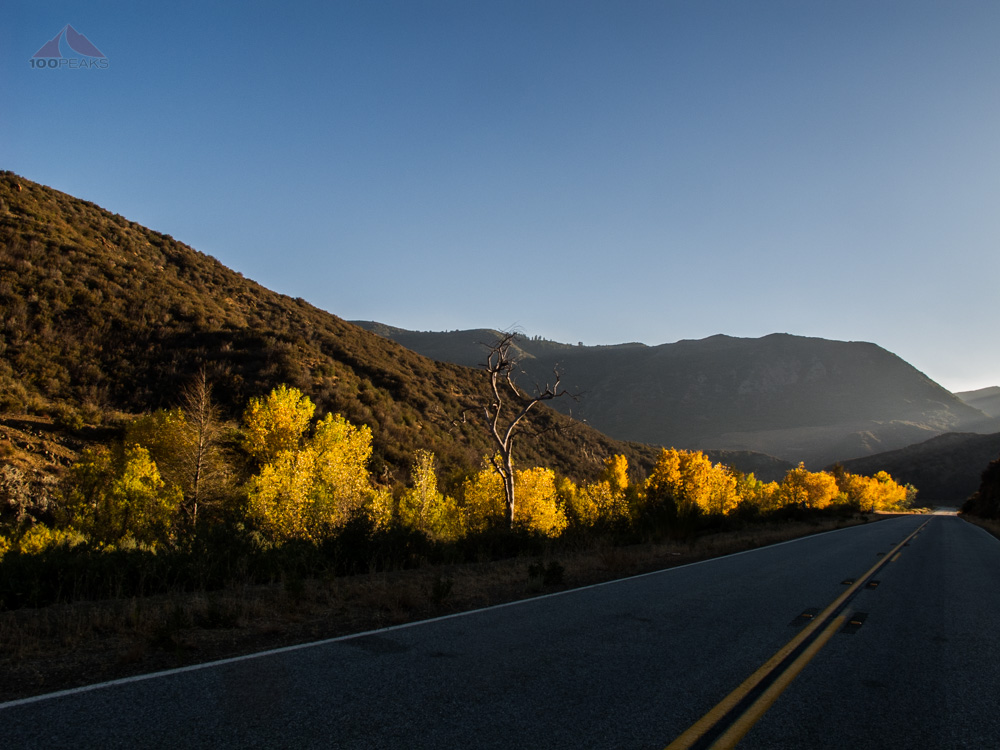
Fall colors on the way home
Elated by a great day outside, I was driving along the 33 when I remembered a spring I had seen on the map. I looked at my GPS and realized I was pretty near where it would be.
Sure enough, I rounded a bend and saw it from the road. I pulled over and got out to hike up to the source.
After a few minutes of scrambling, I was there. It's hard to imagine that a mere 300' from the highway, water emerged out of the rock and formed cascades down a wash. I filled my water bottle and took a drink. It was fairly warm, too. I scrambled back down and went back home.

The source of the spring

Found a rushing spring, even in this dry year
I felt like I had officially crammed the day full of a reasonable amount of adventure. A success indeed.

Fox Mountain Trail Map (Click to enlarge)