Wheeler Peak - The highest point in New Mexico
Wheeler Peak
Elevation: 13,161'
Trip Mileage: ~12 Miles
Agency: Carson National Forest
Dates Hiked: 06/14/2012-06/16/2012
Peakbagger.com Page
For those interested, here is a list of my gear that I have found works well for me. This is, of course, an affiliate link and your enjoyment of these may vary:
06/15/2012
We were headed to Wheeler Peak, the highest point in New Mexico. This was our third annual backpacking trip. The first two were to Mount Whitney in 2010, and Chicago Basin in 2011.
Since I turned 40 this year, I was encouraged by my wife to "go big." Unfortunately, due to our conflicting schedules, once again, the PD and I had to squeeze this trip in between our many other commitments. Also, once again, we promised each other to plan further ahead next year to maximize our adventure potential.
Either way, we had another great adventure and saw a side of New Mexico we didn't know existed.
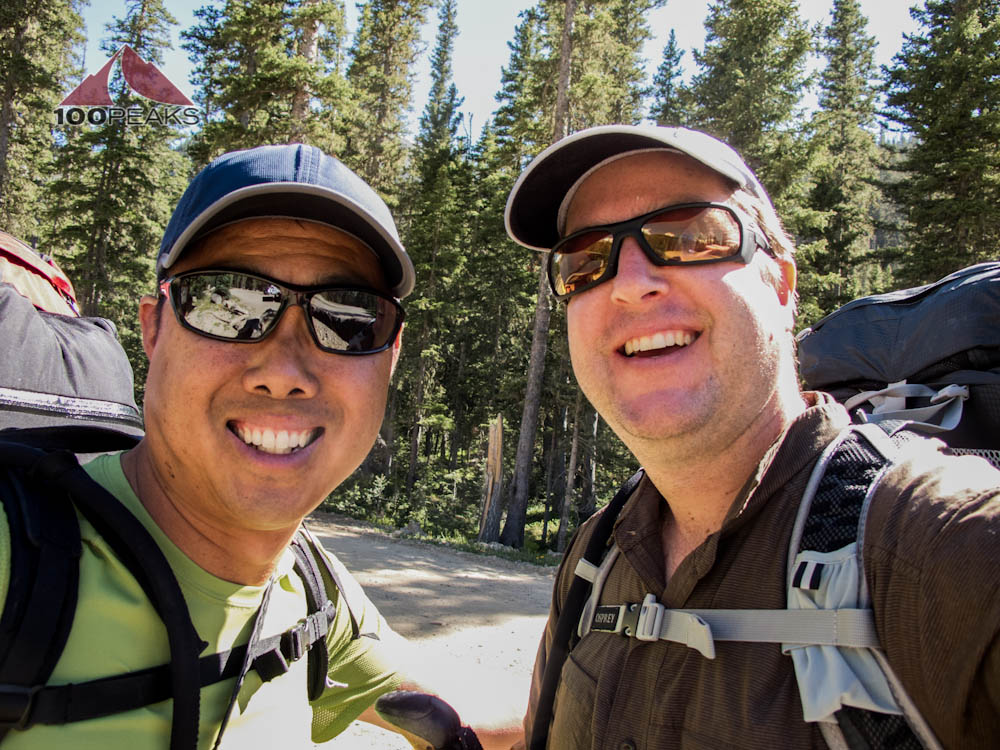
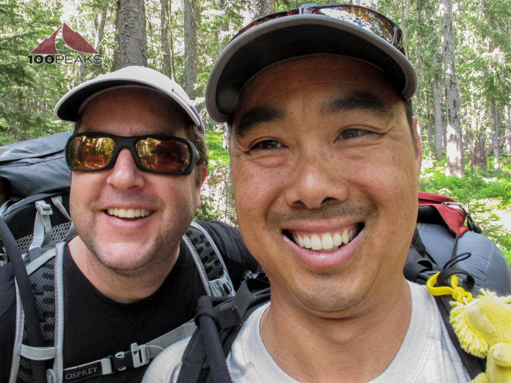
We both left on later flights, so we wouldn't have to take too much time off of work. I left from Santa Barbara and the PD left from San Diego. We met up in Phoenix and enjoyed catching up over dinner.
Once we got to Albuquerque, it was after midnight. The car rental place from which I reserved a rental car was closed. I checked my Expedia Itinerary. Yup, they had confirmed my reservation.
They knew I was landing after midnight, yet they let me rent a car after they knew their office would close. Luckily, I got Expedia on the line and they were able to cancel that reservation and a helpful person from another rental company was able to rent me a car. No problem, just a 45 minute delay.
These things happen.

At the rental counter, about 1AM
We got to the hotel after 1AM and crashed. The next morning, we took our time, even though we had to drive several hours to the trailhead at the Toas Ski area. We insisted this was a vacation and we would play by our own rules and take it as easy or hard as we wanted to. We had some breakfast at the hotel and made the drive north past Santa Fe.
We stopped at Mudd-N-Flood in Taos to purchase our propane, since we couldn't bring it on the plane. The store was great and had a huge selection of everything. I could have arrived in Taos, empty-handed, and left the store fully stocked for a comfortable backpacking trip.
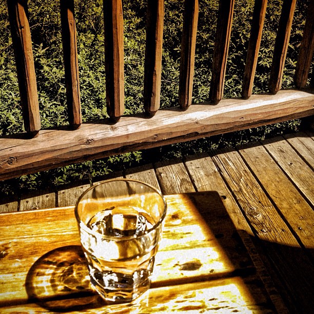
We arrived in Taos Sky Valley and were immediately struck by the beauty of the valley. The Stray Dog Cantina had great food and great service.
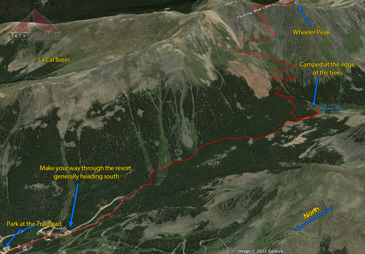
We sat, overlooking the Rio Hondo, which flowed right beneath us on the back deck, and enjoyed our last moments of civilization that we would get for a few days. We drove the dirt road to the trail head, which is a rather large parking lot, and headed out on the trail.
Lunch over the Rio Hondo

Williams Lake Trailhead
Ready to go
The trail starts at about 10,000 feet, and right away we could feel it. We took it easy and hiked up the valley. We only had about 2 miles to go and were gaining about 1,000' to our destination to Williams Lake, but boy did my lungs feel it.
Even after training at Lockwood Peak, Reyes Peak, and Haddock Mountain, I was still feeling constantly out of breath. Given that we had such a late start, we needed to make decent time so that we wouldn't be setting up camp in the dark.
After a short conversation with a local, we found the right trail and continued. We passed quite a few people returning from a day hike and we wondered how many people would be camping there.
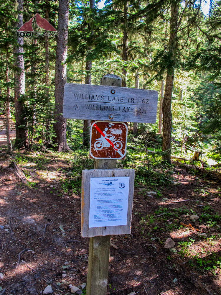
Williams Lake Trail Sign
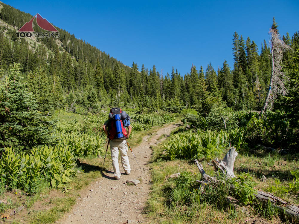
PD on the Williams Lake Trail
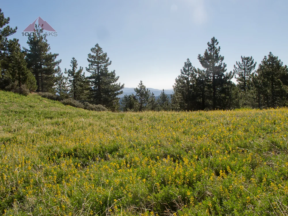
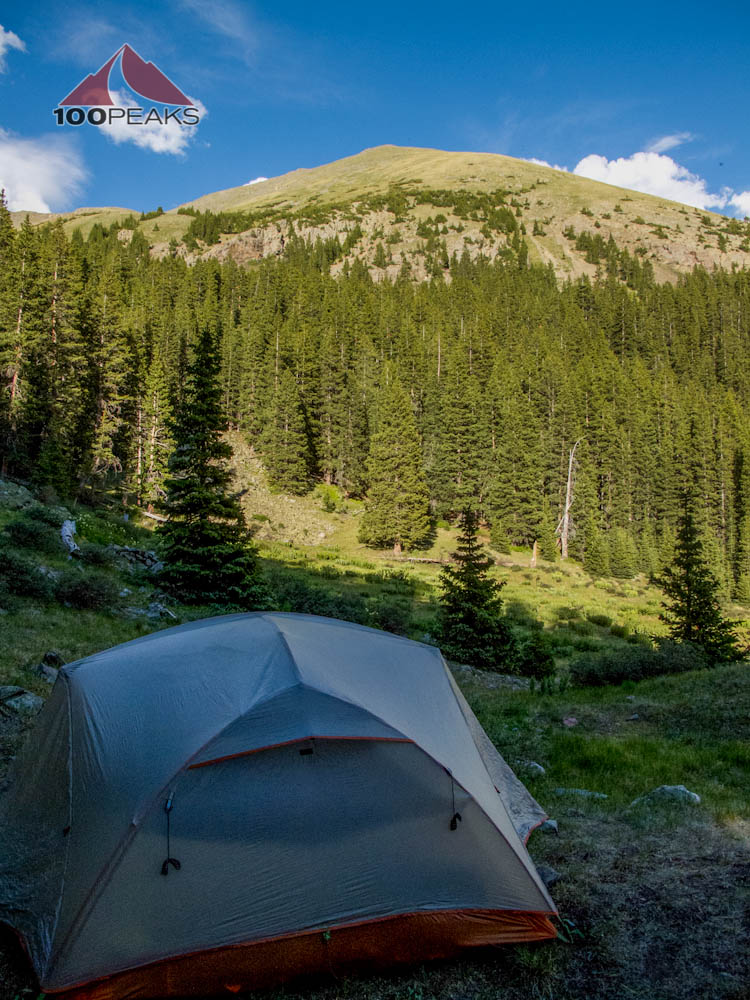
We made it to Williams Lake and searched around for a camping spot. We found a decent spot on the north side of the lake and then scouted around for other sites, but ended up where we first looked, since this site had a nice log for sitting, and an excellent view of the lake. We set up our tent and had a nice meal and got comfortable.
Scanning around, we realized we were the only humans in the entire basin. Other than the occasionally aggressively chirping marmots, we had a silent and restful night by the lake. It seemed like the wind never died down on the other side of the lake, though.

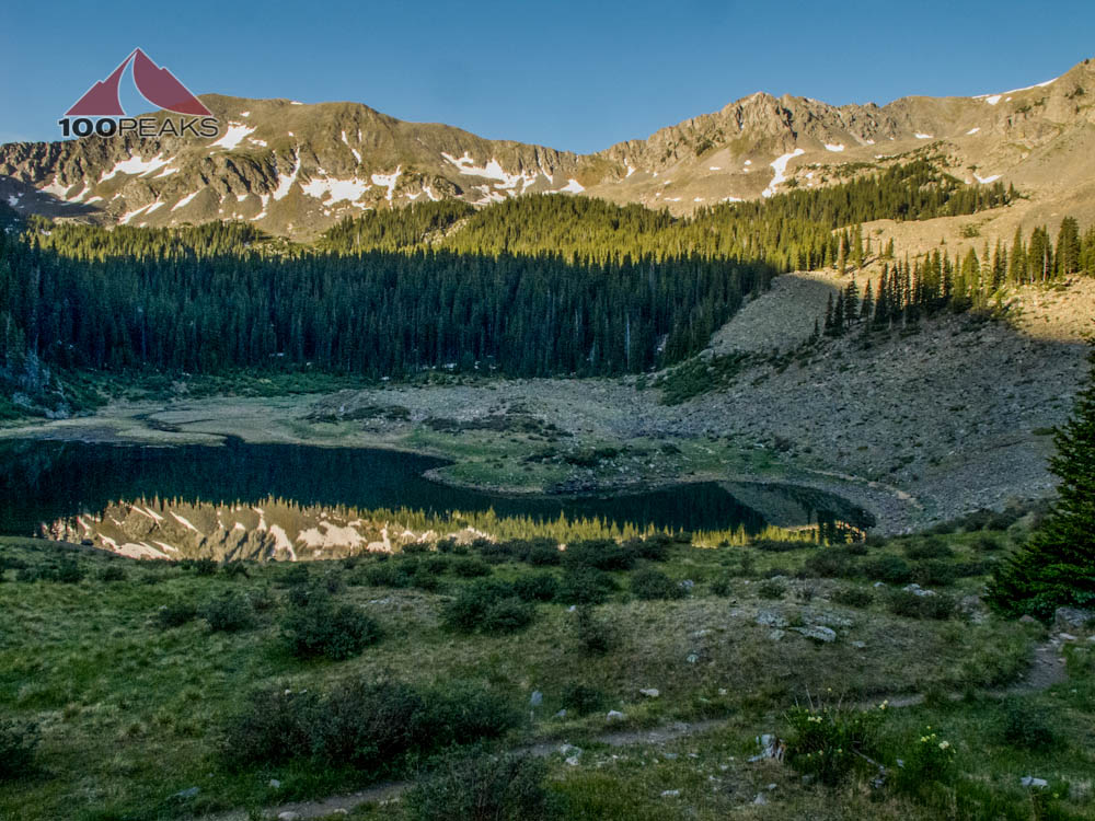
Williams Lake

Our tent at Willams Lake

Williams Lake Sunset
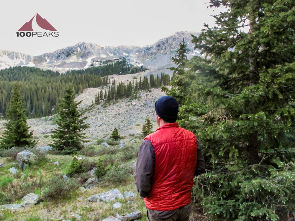
Myself, enjoying the scenery of Willams Lake Basin, all to ourse
When we arose, I still heard the wind on the other side of the lake and was convinced that it wasn't wind at all, but a waterfall. I brought my Sea to Summit collapsable bucket and we made the trek around the west side of the lake, following a well-used trail. The roaring sound got louder until we came upon the cascades of water that led to the lake.
I was thankful, since I wasn't looking forward to using the Steripen on lake water. This water was fresh and ice cold. I scooped up a bunch to sterilize back at camp and we made our way back, occasionally out of breath.
Williams Lake Sunrise

The waterfalls near Williams Lake

The creek on the southwest side of Williams Lake
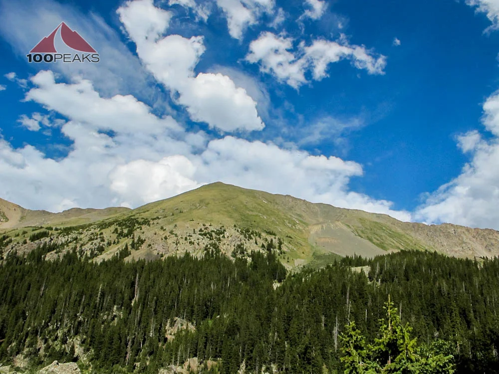
While making breakfast and preparing water, we looked up at the looming Wheeler Peak above us and at the TOPO maps I brought. We also looked at the time remaining on our trip.
In order to truly explore the other side of the ridge, including Horseshoe and Lost Lakes, as well as La Cal Basin, our last day of hiking would have to be epic. Given that we had a plane to catch that day, we calculated our options.
Especially given the effect of the elevation that we already were feeling, we decided to use our Williams Lake site as a base camp for exploration, and resolved not to carry our full packs 2,000 more feet up to the ridge line adjacent to Wheeler Peak.

Wheeler Peak From our campsite at Willams Lake
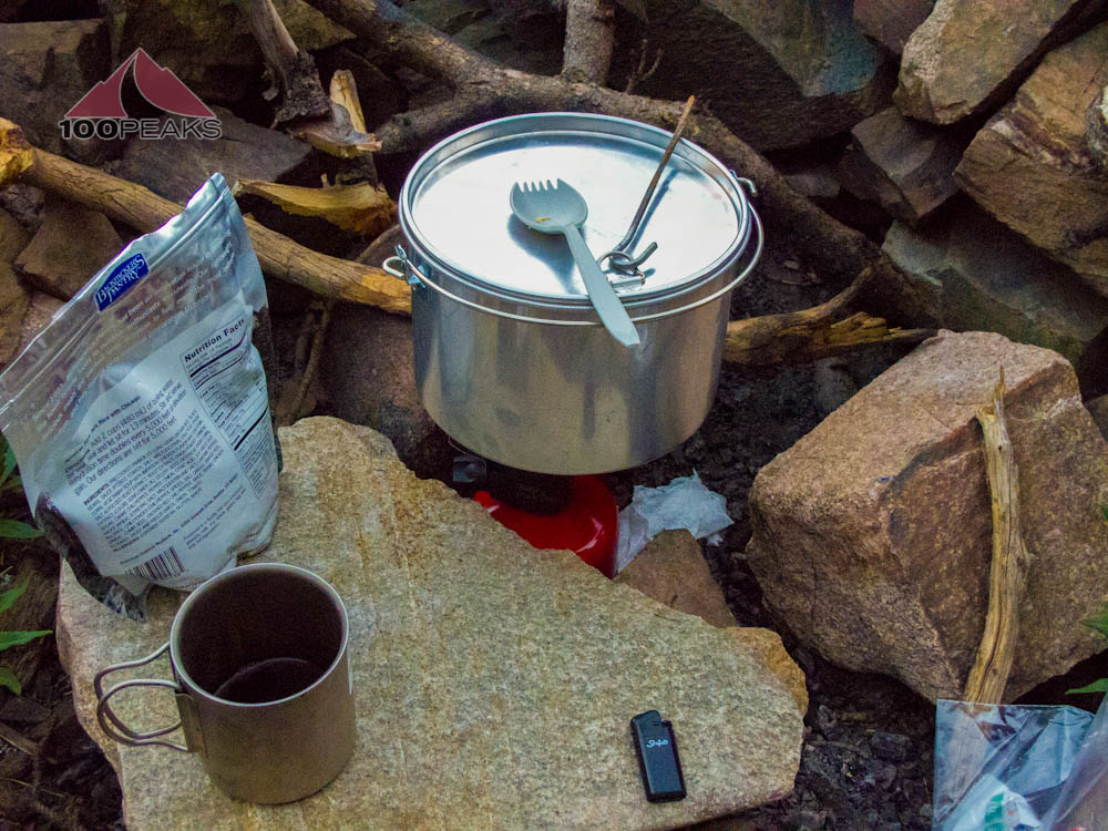
Typical meal setup
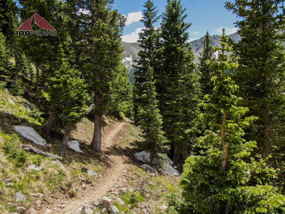
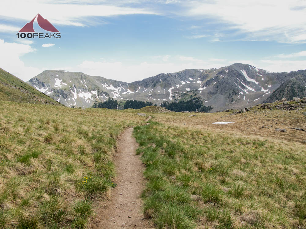
That decision made, we shouldered our day packs and headed up to the Wheeler Peak Trail, a really nice, newly built trail that is a great improvement over the steep gully hike that previously existed there.
On our way out, we met two Native American gentlemen. One was an elderly man with more stories written in scars on his body than anyone I have ever met. The other was a scrappy man our age who was determined to climb Wheeler Peak the old way and scout a way to Bear Lake on the adjacent reservation. We parted ways and backtracked to the Wheeler Peak Trail and enjoyed the shaded hike through the trees.
Emerging from the trees, we met again the scrappy man who was determined to hike straight up the gully. As we switched back, zig-zagging up the mountain, we would meet the winded man whenever the two trails met. After several meetings, he conceded that he was wearing himself out for nothing and joined us on the new trail.

Me, feeling good on the Wheeler Peak Trail
Wheeler Peak Trail
Before long, the three of us encountered some bighorn sheep on the trail. Similar to the mountain goats in Chicago Basin, they were likely accustomed to large amounts of people on this trail and simply ignored us.

Bighorn Sheep on the Wheeler Peak Trail

The Wheeler Peak Trail

The PD climbing the Wheeler Peak Trail
The vistas around us were amazing and we continued to gain elevation. At around 12,000', the PD and I really started feeling it. We got into our rhythm of 30 steps and then catch our breath, and repeat.
The last 500' or so of gain saw that rhythm decrease to 20 steps. We made it to the ridge line and peeked over the side. Bighorn sheep were scattered around and in a large field of snow and we could see the trail go down the other side.

The way down to Horseshoe Lake is around that corner to the left

The Wheeler Peak Ridge
Smelling our proximity to the peak (and not being confronted with outrageous steepness), we had newfound energy and raced south along the ridge. Before long, we were standing on the top of new Mexico.
It was challenging, but far less so that Mount Whitney or Windom Peak, in Colorado. We waited for our Native American friend and had lunch together. The marmots and chipmunks were extremely friendly, as was the couple that summited just after us. We chatted, sharing stories.
The PD and I were searching for inspiration. Since the family we met at Soldier Lake on our Whitney Trip in 2010 told us about the train ride to Chicago Basin, which is where we went in 2011, and a guy I chatted with on the bus from Silverton to Durango extolled the outdoor beauty of New Mexico in 2011, we were hoping for serendipity. We discussed a lot stories and places, so our options are open for 2013.
Marmot on Wheeler Peak

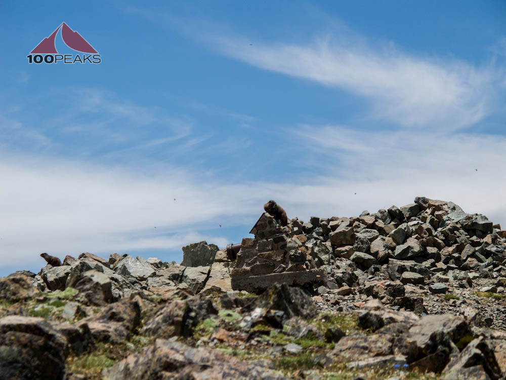
Wheeler Peak Summit Register and Plaque

Wheeler Peak Reference Benchmark

The PD on Wheeler Peak

Me, at the top of New Mexico
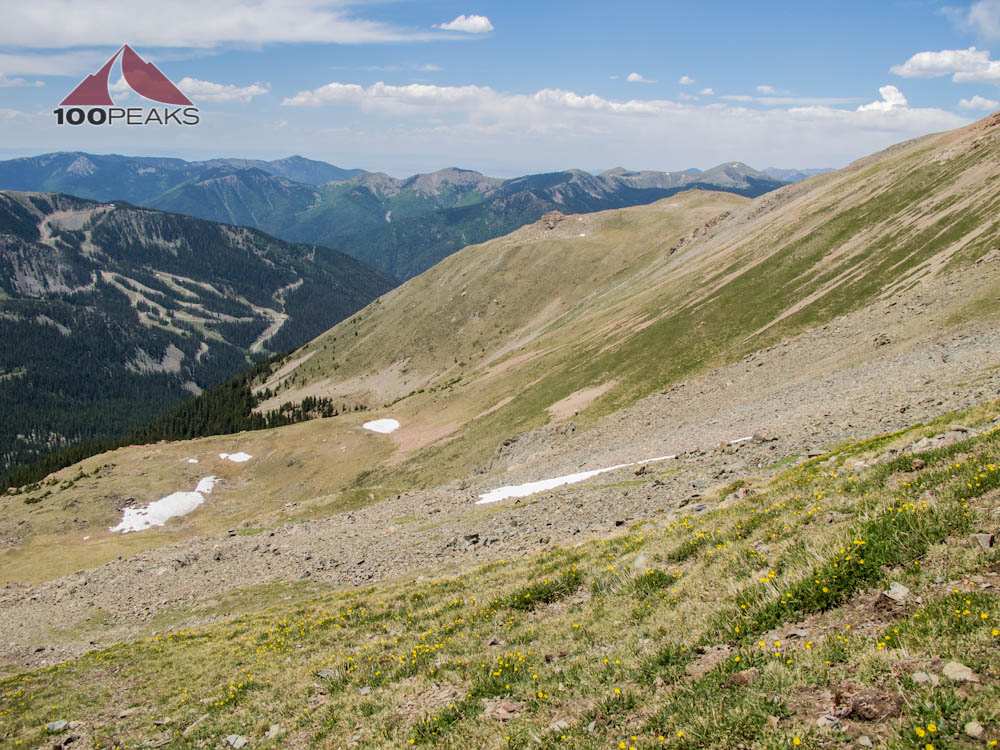
Taos Ski Area from Wheeler Peak
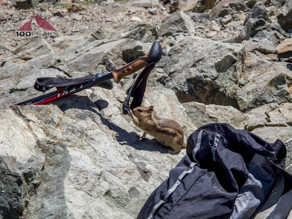
Chipmunk after salt on Wheeler Peak
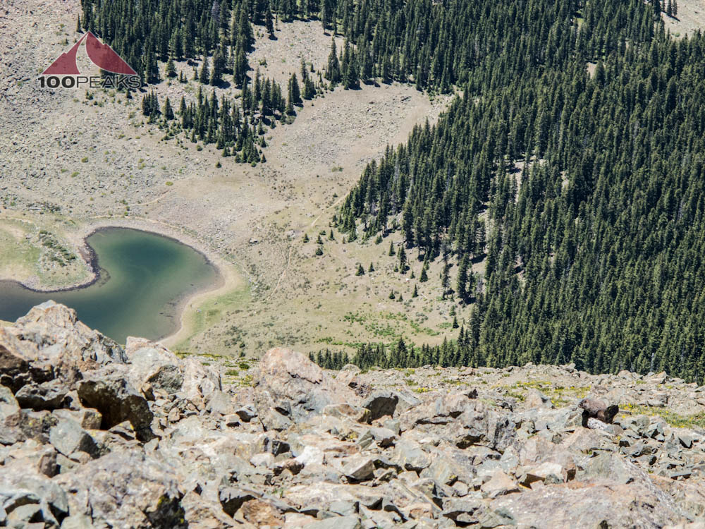
From Wheeler Peak, you can see our tent to the right of the lake and trail at the edge of the tree line

Peak 12819 and Lake Fork Peak from Wheeler Peak Summit
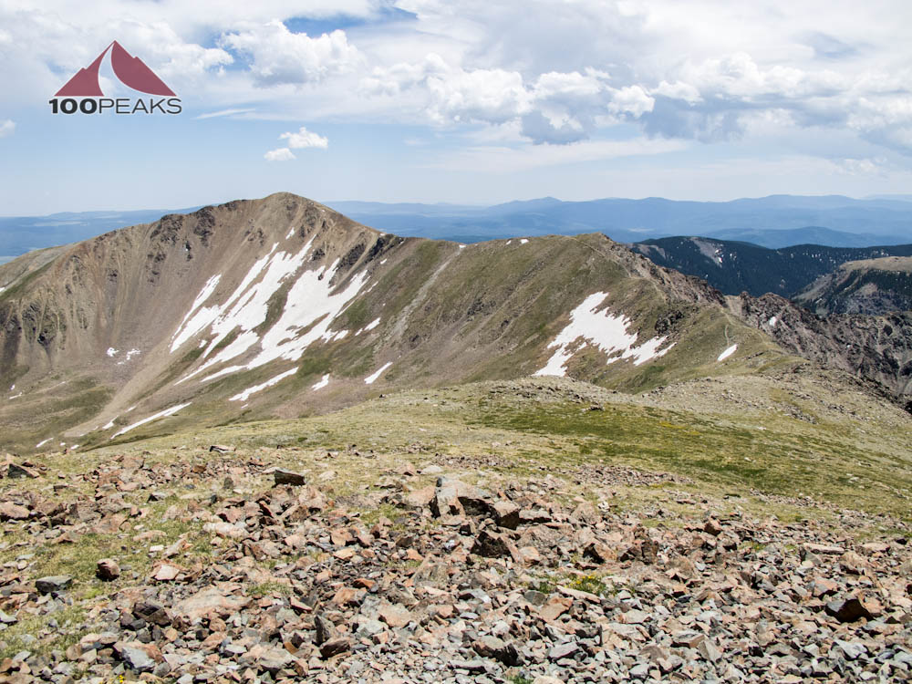
Simpson Peak and Old Mike Peak from Wheeler Peak
Looking at some gathering clouds, we decided to descend. I felt great, so I bounded down the mountain, slowing only on the talus slopes that spill onto the upper part of the mountain.
Before long, we were saying our goodbyes to our newly-found friends and retiring to our campsite. We decided to have dinner at the cascades on the far side of the lake.
Wearing Tevas and bringing tortillas (this will now be a staple on all of my backpacking trips), we enjoyed meeting new people while we made dinner and enjoyed the setting sun. Since this was friday night, more and more campers were entering the valley. Many with dogs.

Talus trail on the way down from Wheeler Peak
Wheeler Peak Trail

Marmot on the Wheeler Peak Trail
We chatted with more people who asked us where we hiked today. We pointed upward to Wheeler Peak and were proud of ourselves. We accomplished what we set out to do and it wasn't that difficult. We pondered what we were going to do tomorrow.
Over cards and wine, we decided to pack it out the next morning, a day early. The basin was getting crowded and we were going to see if we could find another trail where we could try our hands at fishing.

Me, contemplating the achievement
Our tent in the shadow of Wheeler Peak
That night, several groups of campers arrived in the dark, one group thrashing their way with flashlights and swearing well after midnight, waking us up several times and shining their light repeatedly on our tent. We both felt good about our decision; This wasn't the backcountry and it was time to go.
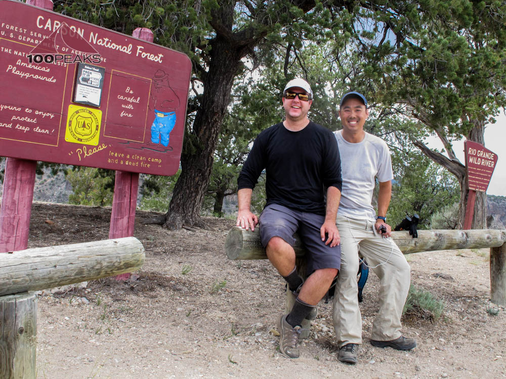
We headed out pretty early. We encountered some trail workers and thanked them for their hard work. We also chatted with two guys who were locals. They let us know of a trail nearby where we could hike to the Rio Grande and fish. The PD and I looked at each other. Time for another adventure.
We got back to our car in no time and headed down the road. We stopped for some burgers in a tiny down called Questa and discussed our plans. We would hike to a fishing spot and back out again. I would secure a room in a hotel for tonight and we would take this one easy. We were both worn out from the crowded valley and needed a good night sleep.
Out of the wild

Lunch in Questa
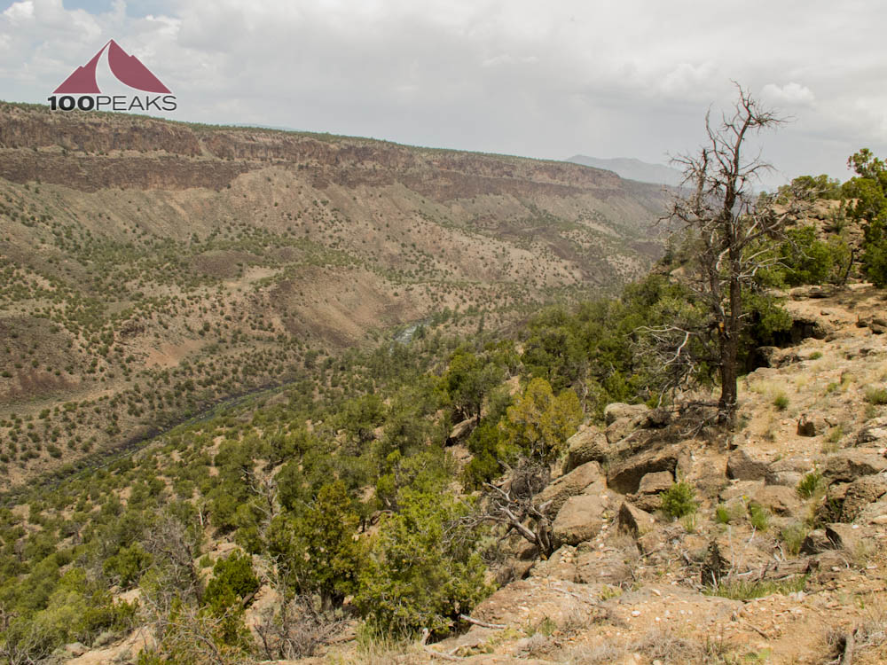
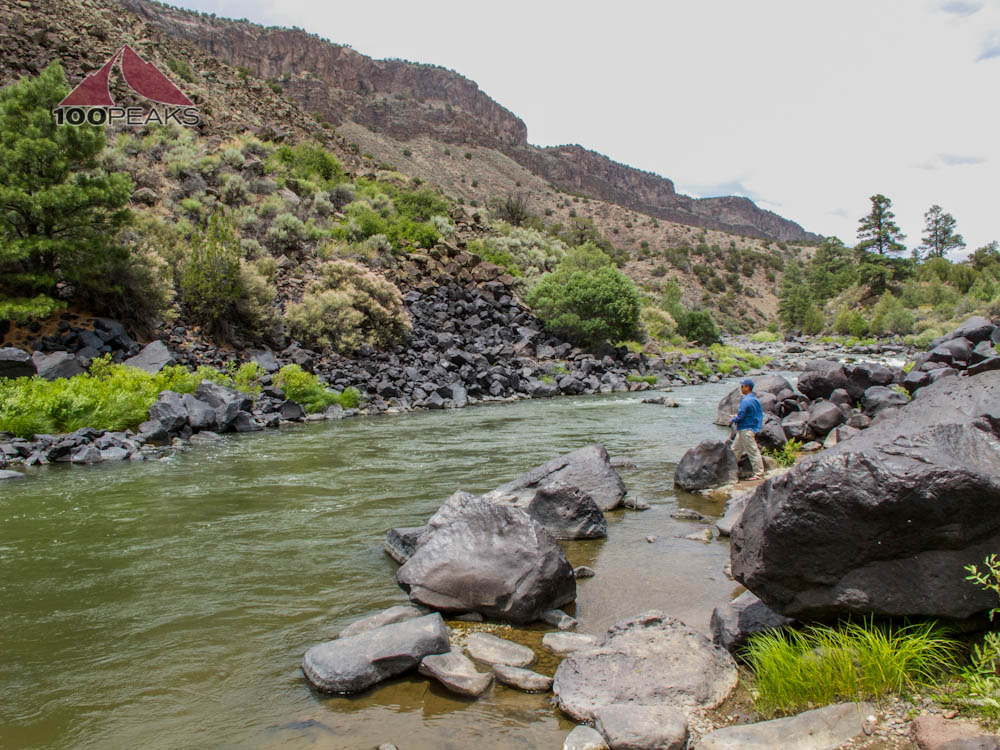
We went to the Wild River area of the Rio Grande and found the trailhead after driving on a dirt road for miles. We peered over the side. It was going to be pretty steep.
We got our poles and day packs on and headed down the side of the canyon. It was pretty hot at lower elevations, even though we were still starting at 7,300'. We made it to the bottom and assembled our fishing rods. We were happy to be exploring and experiencing another corner of the world and hoped to catch some fish.

Rio Grande, Wild River area
Back into the wild to the Rio Grande River

The PD going down to the Rio Grande
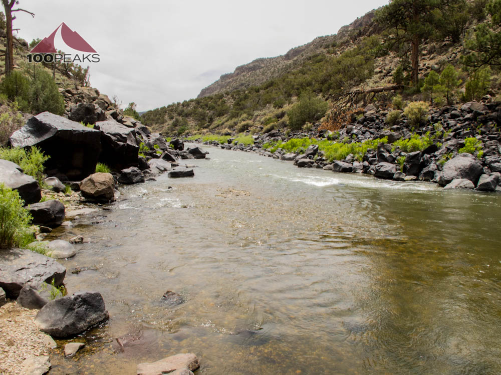
The Rio Grande
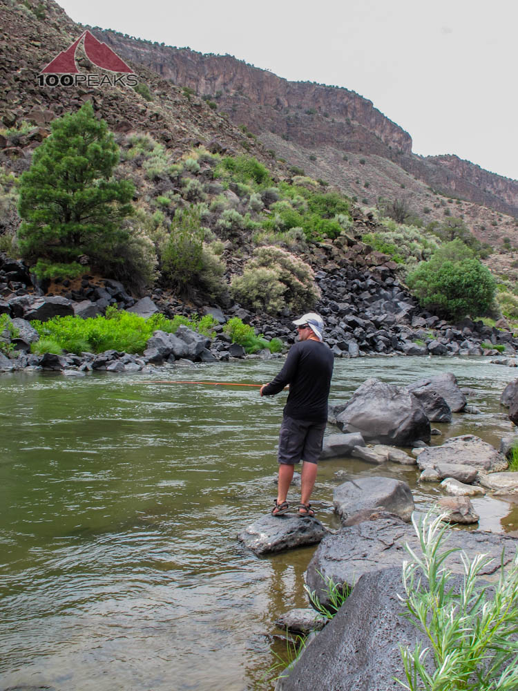
Seeing some threatening clouds, I kept my ears and eyes open for signs of a flash flood, but nothing arrived. Neither did any fish. We had some nibbles here and there, but nothing latched on.
Disgruntled, but satisfied, we packed up and headed back up the canyon walls. Knowing this was our last hike of the trip, we pushed ourselves a bit and scaled the steep trail quite a bit faster than we did on the way down. Winded and elated, we threw our stuff in the car and headed for Santa Fe, where our room waited.
The PD fishing on the Rio Grande
I got a few nibbles

Up and out
Another great trip
We walked about half a mile from our hotel to Tortilla Flats, where we ended up having OK margarita and pretty good food.
We hiked back, watched a movie on TV and called it a night. The next day, we had some time, so we drove to Old Town Albuquerque and enjoyed some WAY BETTER Mexican Food and margaritas.
On the plane, we recapped the trip and promised again to plan further ahead next year. Sure, we didn't hike ourselves to within an inch of our lives, but we had a good time while still challenging ourselves. We went to New Mexico's high point and had a blast doing it. There's no one correct way to have an adventure.
That being said: next year, it's on. I have a mid-life crisis to get through.
Thanks for reading.
Wheeler Peak Trail Map (Click to enlarge)